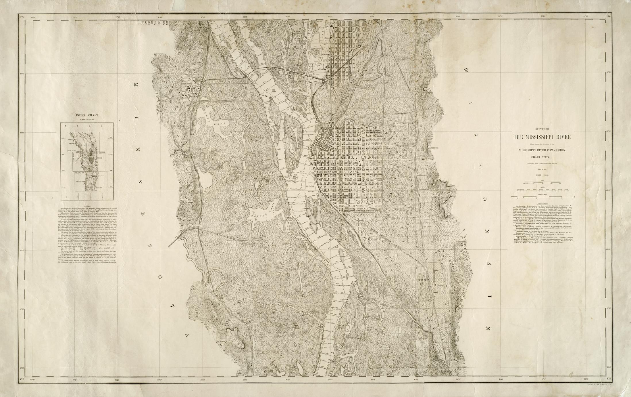
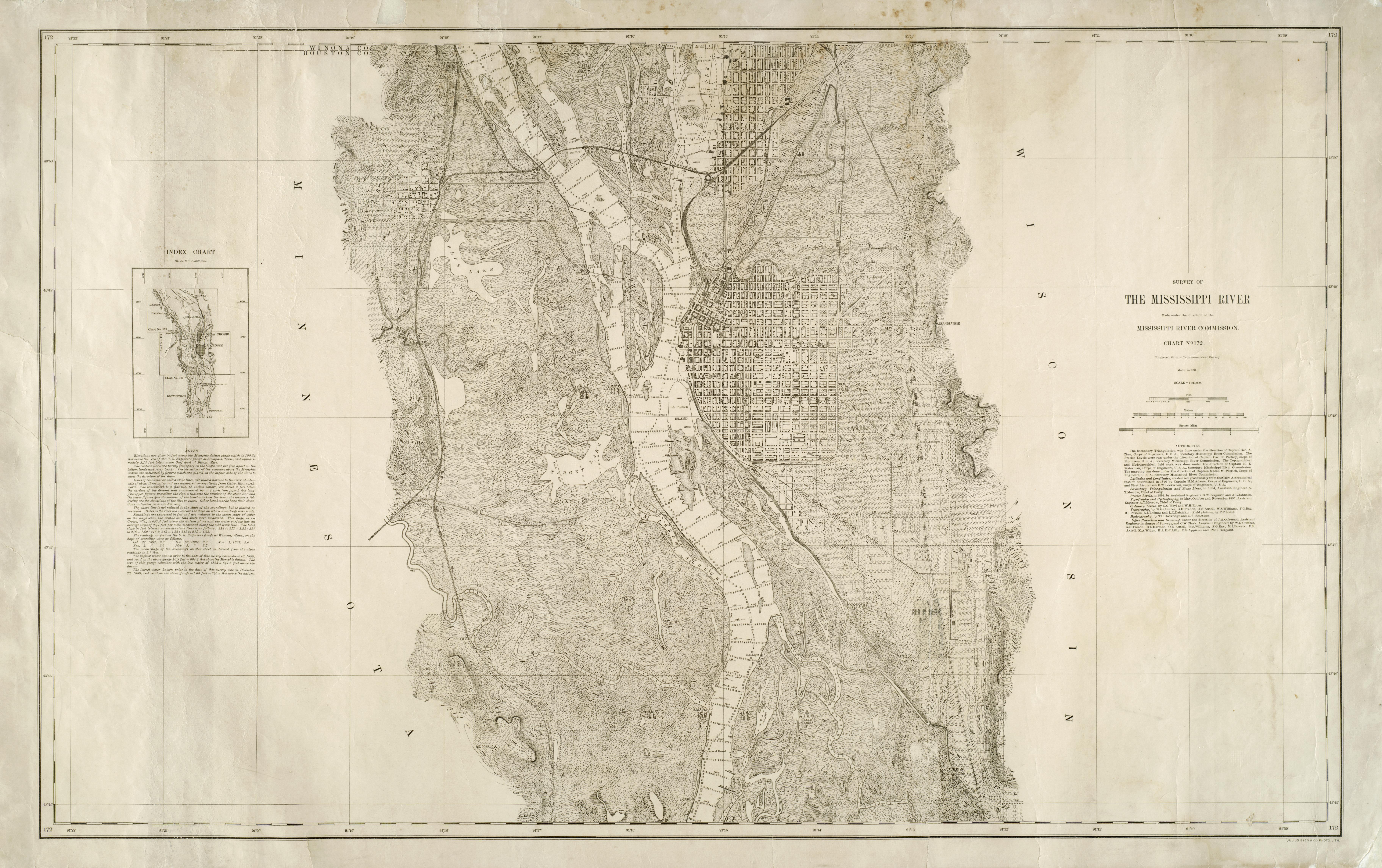
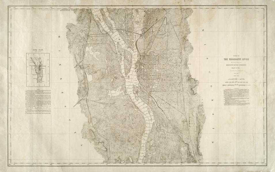
Projected from a trigonometrical survey made in 1894
Relief shown by hachures, spot heights, and contours
Depths shown by soundings
Army Corps of Engineers assisted with map creation
Includes a list of "Authorities," "Note," and "Index chart"
Shows railroads, bridges, river depths, street names, parks, lumber yards, vegetation types, fairgrounds, dikes, United States lights, La Crosse, Wis., North La Crosse, La Crescent, Minn., River Junction (Minn.), McDonald [Bluff], West La Crosse, Calvert Station, Oak Grove Cemetery, Calvert [Bluff], Blue Lake, Broken Arrow Slough, Root River, Minnesota Island, Target Lake, La Crosse River, Barron Island, Silver Creek, Grand Crossing, Grandfather Bluff, La Plume Island, rifle range, County Poor Farm, Root River [Bluff]