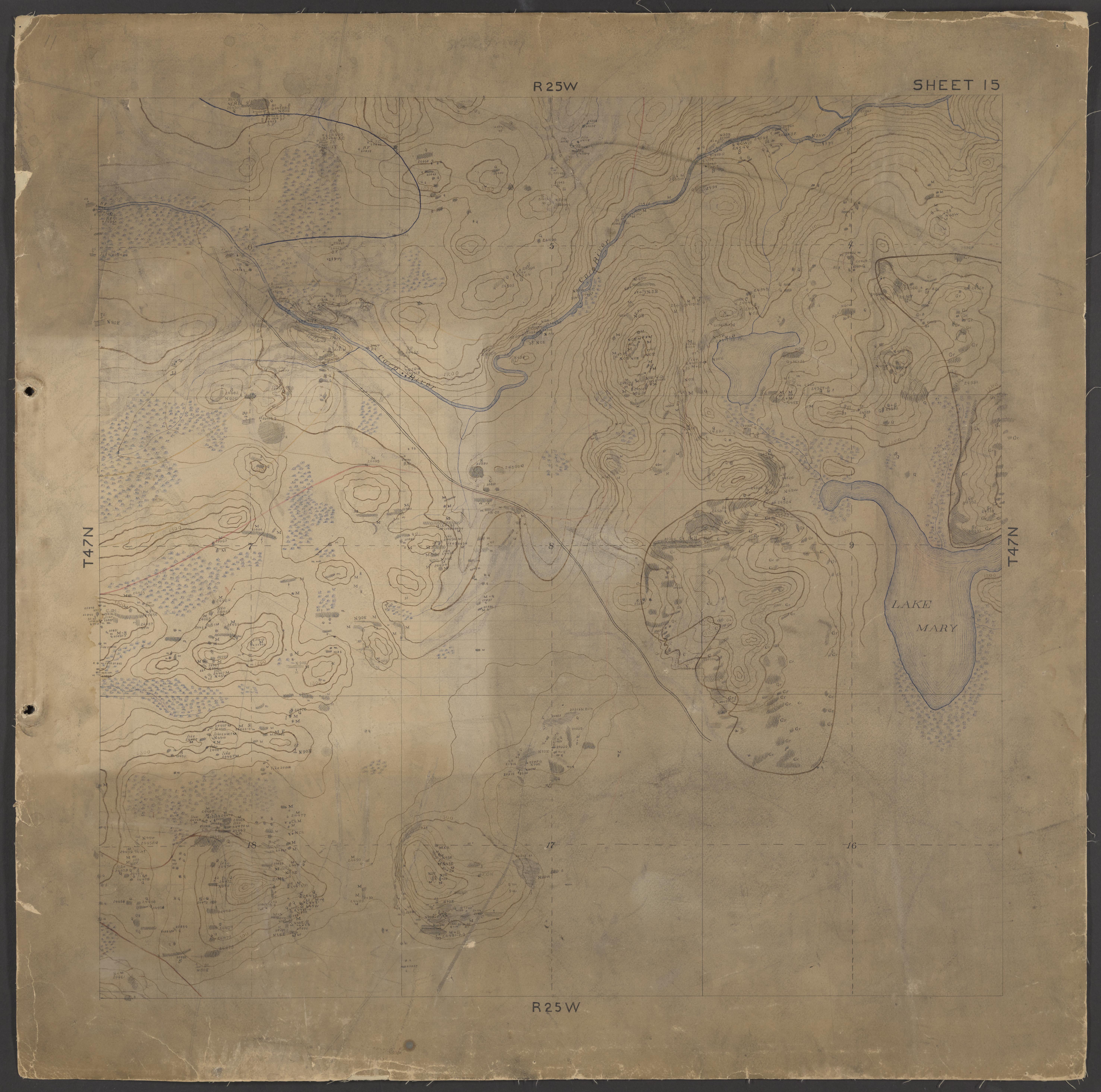
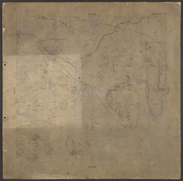
Geological map of area south of Marquette (Marquette County, Michigan)
Date
ca. 1893
Summary
Hand-drawn map of Township 47 North, Range 25 West, NW quarter (Marquette County, Mich.). Accompanies descriptions in notebooks numbered 150, 152, 153, 154, 156, 157, and 172. Colored drawings illustrate geological and natural features including elevation and locations where geological samples were taken. Features include the Carp River and Pelissier Lake (labeled Lake Mary on the map).
