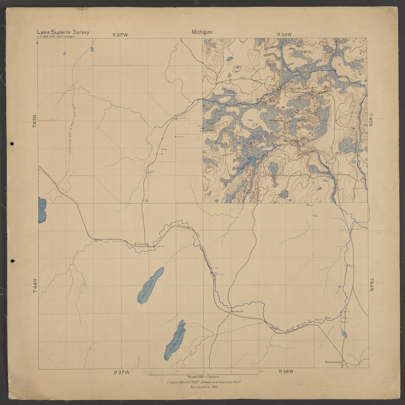
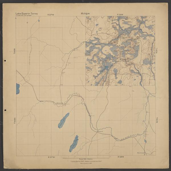
Geological map of Elmwood area (Iron County, Michigan)
Date
ca. 1891
Summary
Hand-drawn map of Townships 44 and 45 North, Ranges 36 and 37 West (Iron County, Mich.). Accompanies descriptions in notebooks numbered 93, 104, 105, 220, 221, 223, 228, 236, and 250. Colored drawings illustrate geological and natural features, including elevation and locations where geological samples were taken. Features include Ketchum Lake (named Cedar Point Lake on the map), Bush Creek, and the North Branch of the Paint River.