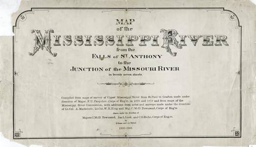
Compiled from maps of survey of upper Mississippi River from St. Paul to Grafton made under direction of Major F.U. Farquhar, Corps of Eng'rs. in 1878 and 1879 and from maps of the Mississippi River Commission, with addition from notes and surveys made under the direction of Lt. Col. A. Mackenzie, Lt. Col. W.R. King and Maj. C. McD. Townsend, Corps of Eng'rs ; drawn under the direction of Majors C. McD. Townsend, Jas. L. Lusk, and C.S. Riche, Corps of Eng'rs. by H. Bosse and A.J. Stibolt
Shows Dresbach Island, Dresbach Slough, Rice Lake, Blue Lake, Barron Island, French Slough, Black River, La Crosse River, Midway, Onalaska, La Crosse, La Crescent, Target Lake, Broken Arrow Slough, Root River, Prairie Island, Brownsville, Coon Slough, Crosby Slough
Scale 1:63,360; 1 inch = 1 mile
Includes index sheet (Scale 1:1,267,700; 1 inch = 20 miles)