Website Search
Find information on spaces, staff, and services.
Find information on spaces, staff, and services.
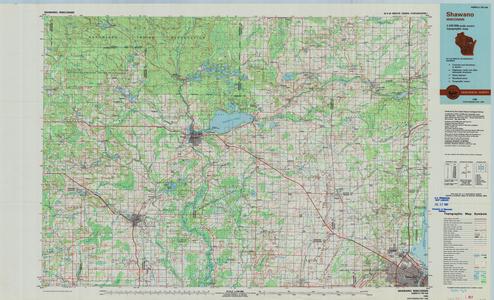
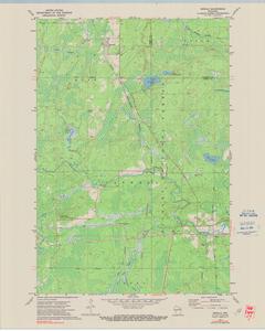
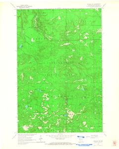
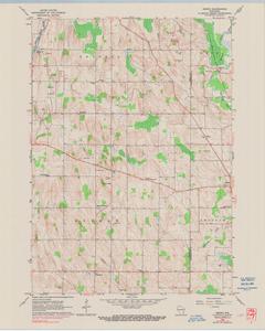
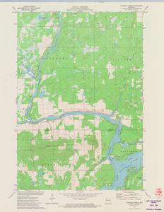
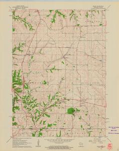
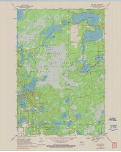
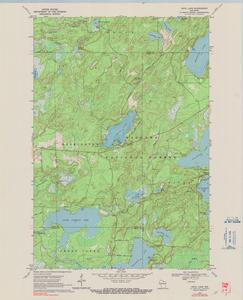
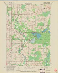
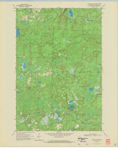
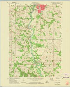
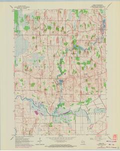
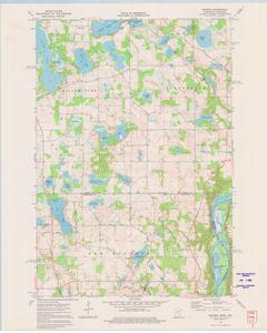
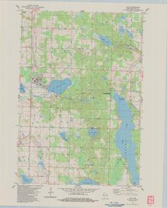
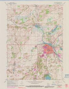
The UW Robinson Map Library partnered with the United States Geological Survey (USGS) in a pilot project aimed at digitizing the entire collection of Wisconsin's topographic maps. This scanning project resulted in a digital archive of over 2,000 map images and metadata for Wisconsin dating back to the early 1900's. Just one year later the scanning project became a nationally-focused effort when USGS committed resources to building a digital U.S. archive of every topographic map ever printed across the country.
The map scales included in the WI collection consist of the oldest 1:62,500 and 1:48,000 maps (or "15 minute" maps) created from the early 1900's until the 1950's, the more detailed 1:24,000 scale maps (or "7.5 minute" maps) that the agency began creating in the early to mid 1950's to present, and both the 1:100,000 and 1;250,000 scale less detailed, regional maps.
This compilation (including design, introductory text, organization, and descriptive material) is copyrighted by University of Wisconsin System Board of Regents.
This copyright is independent of any copyright on specific items within the collection. Because the University of Wisconsin Libraries generally do not own the rights to materials in these collections, please consult copyright or ownership information provided with individual items.
Images, text, or other content downloaded from the collection may be freely used for non-profit educational and research purposes, or any other use falling within the purview of "Fair Use".
In all other cases, please consult the terms provided with the item, or contact the Libraries.
Copied!